- IABG Website
- Services
- Geodata & Environmental Services
- IABG Website
- Services
- Geodata & Environmental Services
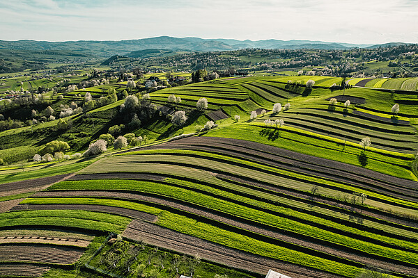
Turning Geodata into Valuable Information
The Team
We are an interdisciplinary team of geographers, geodesists and geoinformatics experts along with specialists in environmental sciences, cartography, hydrology, geology, forestry, landscape architecture and civil engineering.
Our Commitment: Delivering results of the highest quality and achieving maximum customer satisfaction. We rely on our innovative strength, continuous professional development and technical excellence.
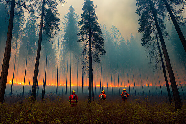
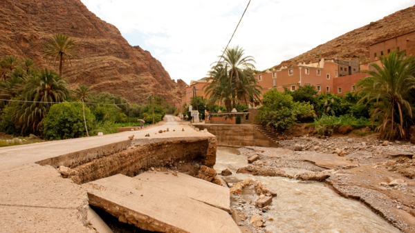
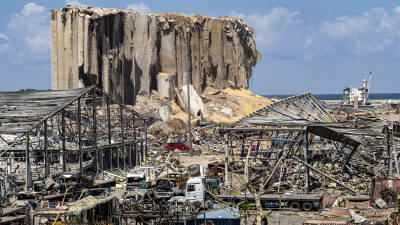
Our Mission: To unlock the full potential of geodata and geoinformation for in-depth insights and to make them accessible for informed decision-making. Our experience spans a wide range of projects in various fields, supporting complex security tasks, disaster and crisis management and natural hazard prevention.
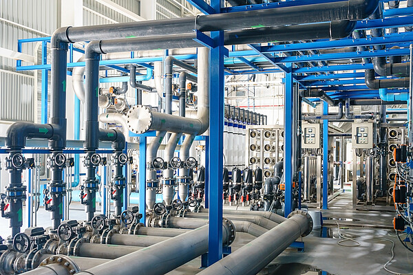
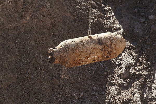
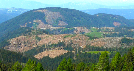
Our services in "Environmental Services" focus on the revitalization of brownfields, particularly former military, armament and industrial sites.
What We Do
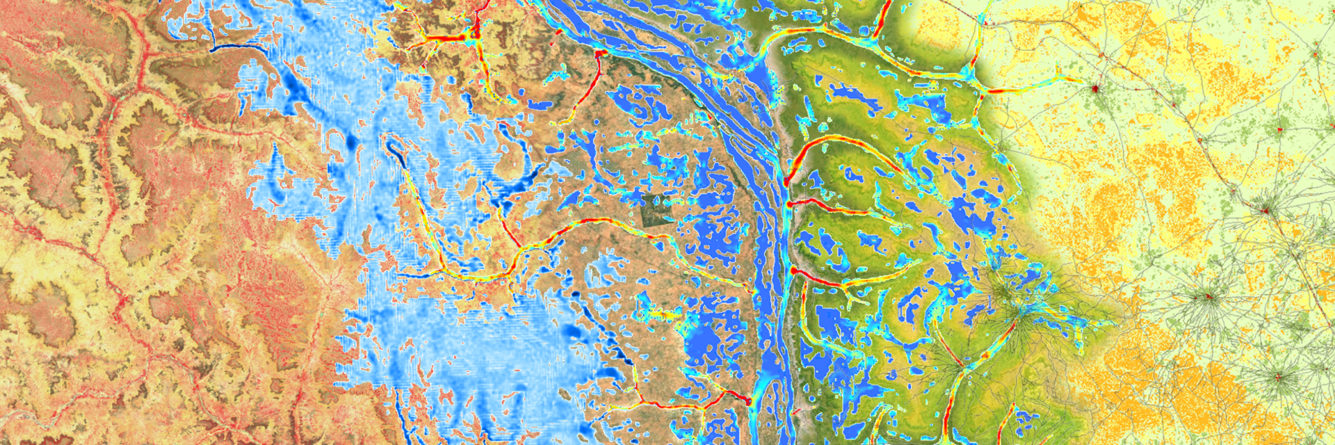
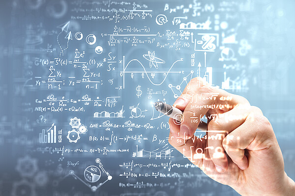
Geodata forms the foundation of our work: We capture data and information in their spatial contexts, analyze and interpret them. Using state-of-the-art technologies, including AI, we transform raw data into valuable information that supports informed decision-making. Drawing on our extensive experience, we develop sustainable and cost-efficient solutions.
Our Services:
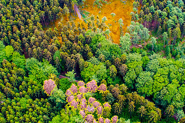
- Remote sensing-based geodata analysis
- Semi-automated and AI-based analysis
- Utilizing Open-Source Intelligence (OSInt)
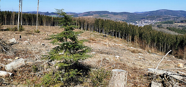
- Mapping and monitoring of land cover and infrastructure
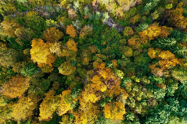
- Analysis of climate change impacts
- Developing future scenarios in disaster, risk and environmental management
- Customized GIS and platform applications
- Development of platforms and solutions
- Training and workshops
- Land recycling
- Environmental impact assessments
Who We Work For
With our services, we address national and international users and clients. We take on the leadership of large international projects and work as partners in international consortia. We work on behalf of:
- European Commission (EC)
- Joint Research Centre (JRC)
- European Space Agency (ESA)
- International financial institutions (e.g. World Bank)
- German Armed Forces and other military clients
- Public administration
- Private sector
Technologies We Use
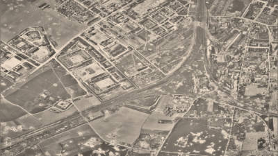
Remote sensing data is diverse and varies in spatial and/or spectral resolution as well as underlying sensor strategies. It can be captured by satellites, aircraft, drones, or even from the ground, covering individual moments or time spans of several decades.
In recent years, numerous methods and approaches have been developed to maximize the potential of these data sources. A robust IT environment and novel methods accelerate this process. We also use innovative technologies for our solutions, such as:
- Detailed mapping of complex structures
- Sensor-specific fully or semi-automated remote sensing
- Machine learning (supervised or unsupervised) and deep learning (artificial intelligence)
- Modeling of complex relationships, incorporating non-spatial data (e.g. climate and socio-economic data or information from social media)
Platforms and portals play a crucial role in presenting our results to clients in the most intuitive and user-friendly way possible.


How can we help you?
Please fill in the form and we will get in touch with you as soon as possible.