- IABG Website
- News
- Events
- INTERGEO 2024
- IABG Website
- News
- Events
- INTERGEO 2024
Comprehensive services ranging from satellite qualification to pioneering downstream services in communication, navigation and earth observation.
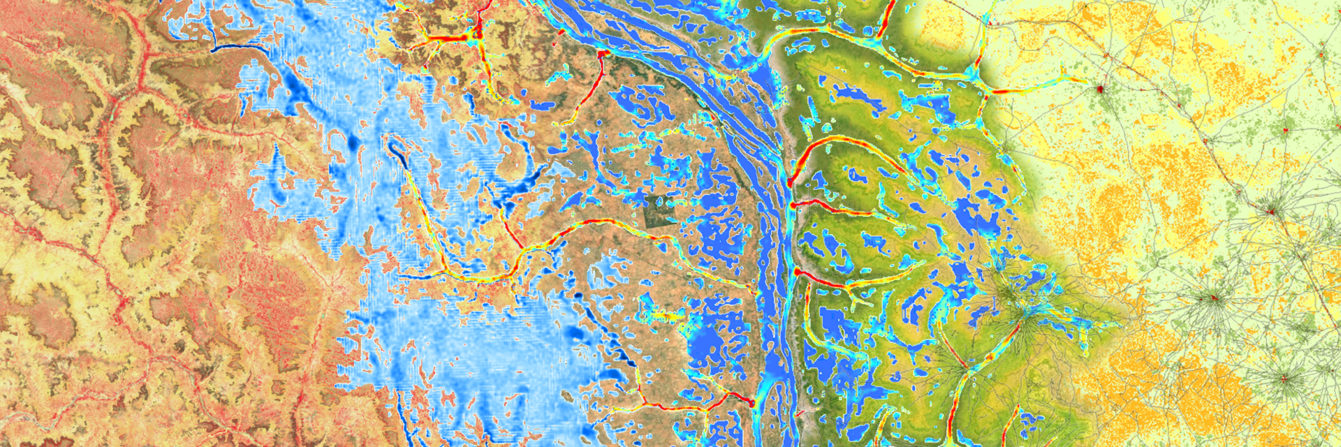
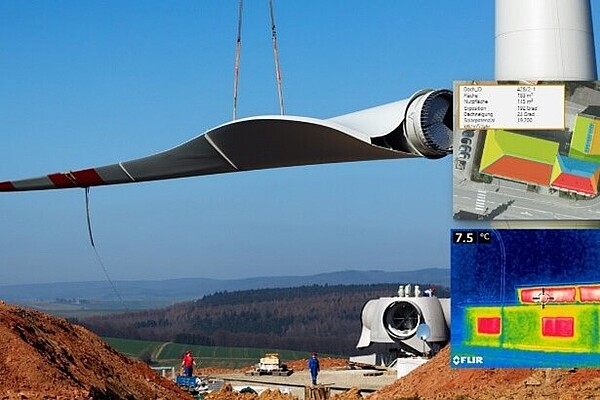
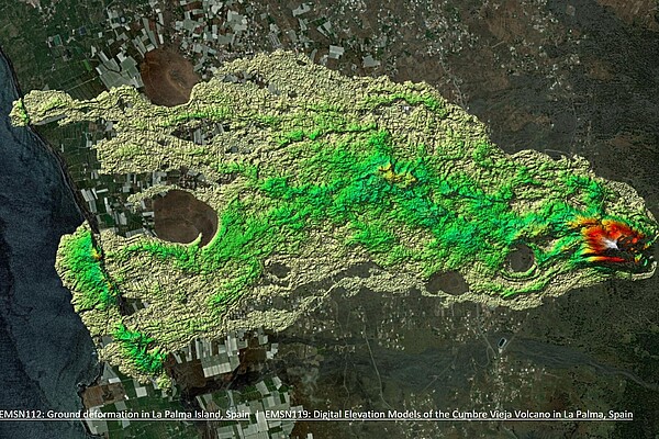
Our geospatial services include AI-supported geodata analysis, environmental monitoring, GIS and photogrammetry. We support you in mapping, analyzing climate change impacts and developing future scenarios for disaster management and climate adaptation. We develop customized GIS & platform applications for more efficient business processes and user-friendly access to information.
Visit us in Hall 3 at Stand F3.034
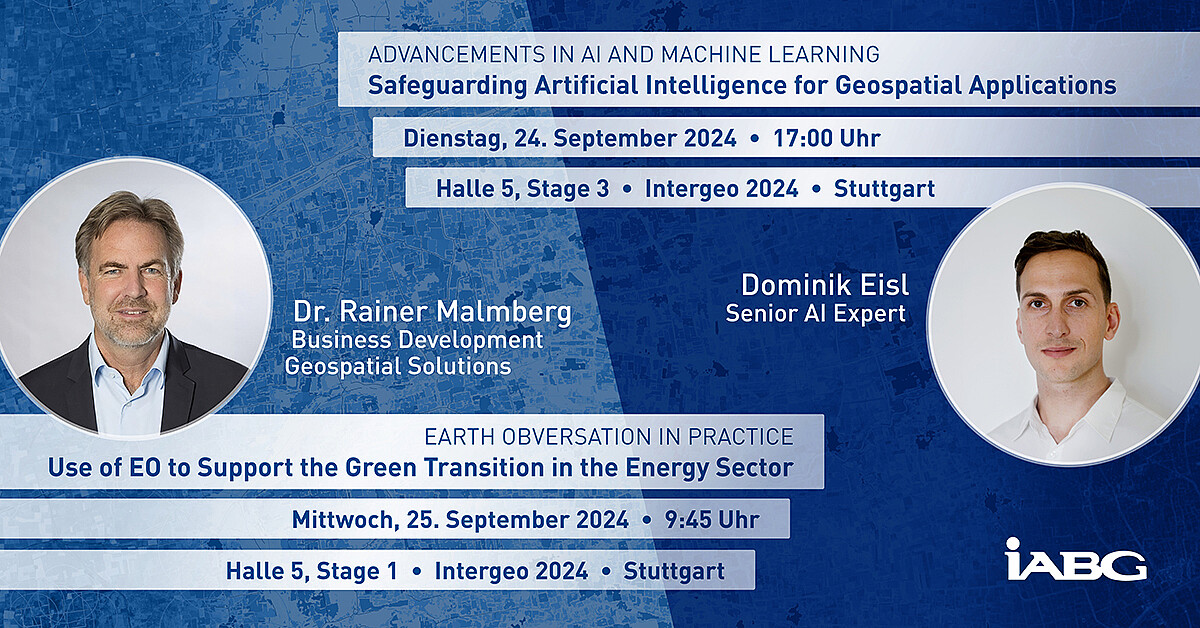
Our Presentations

Get in touch with us!

How can we help you?
Please fill in the form and we will get in touch with you as soon as possible.


