Share
close
Share
close

Disaster & Crisis Management

Disaster & Crisis Management

We support effective disaster and crisis management - in Europe and worldwide.
This is done in particular through the Copernicus Emergency Management Service (CEMS) within the Copernicus programme and through Union Civil Protection Mechanism (UCPM) programmes.


CEMS - Copernicus Emergency Management Service*
* The Service in Detail: Copernicus Emergency Management Service  

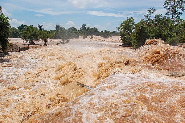
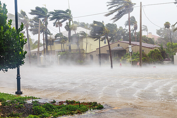
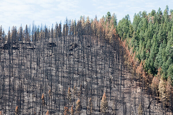
This Copernicus services support disaster and crisis management authorities and organisations in the coordination and management of natural hazards such as (flash) flood, forest fire, drought, earthquake, erosion and landslide, or volcanic eruption. CEMS further focuses on human-made disasters (e.g. transportation accidents) or humanitarian crises (e.g. refugee movements, reconstruction monitoring).

The early warning and monitoring component provides real-time information on selected topics: forest fires, short-term forecasts on floods and a monitoring and early warning system related to drought across Europe and globally.

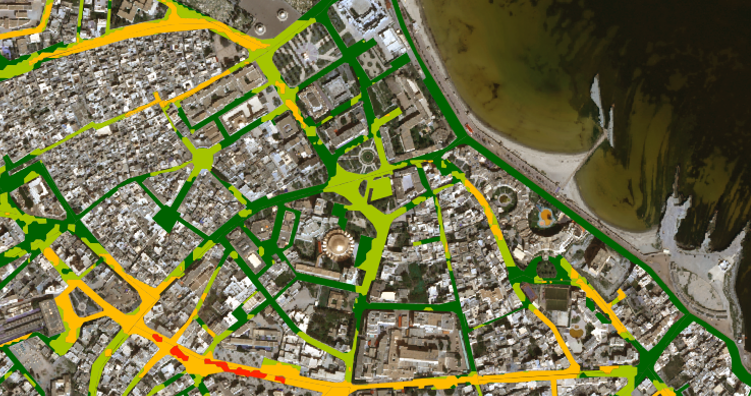
The on-demand mapping component supports participating actors with highly up-to-date and accurate geo-information in the event of a disaster.

IABG supports CEMS in the mapping component, covering all phases of the crisis management cycle. The implementation is based on the two service levels

Rapid Mapping
The 24/7 Service to support emergency management activities and actions during or immediately after an event.

Risk & Recovery Mapping
Support to disaster management activities, including the phases of prevention, preparedness, risk reduction and recovery.

Union Civil Protection Mechanism (UCPM)

Disasters are not bound to borders and it is not uncommon that events affect several countries. The aim of the EU Civil Protection Mechanism is to strengthen the cooperation between the EU and its single Member States and to facilitate the coordination of measures. This applies equally to preventive and reactive measures since only a common and pan-European approach leads to efficient actions.

Activations are manifold, and are triggered in very different context, e.g. in connection to the Ukraine conflict, forest fires in Europe, the COVID crisis as well due to various flood events. In 2022 alone, the mechanism was activated a total of 106 times.

In the context of UCPM, co-funded by DG European Civil Protection and Humanitarian Aid Operations (ECHO), IABG has initiated and successfully implemented prevention projects in EU neighbouring countries, shown with the following examples:

Pilot- und Demonstrationsprojekt

ARIMA | Marokko

Co-finanziertes EU-Projekt

  • Pilot and demonstrator project (co-funded by the European Union):

  • Implementation of a multi-risk analysis related to multiple natural hazards (flood, erosion, drought)
  • Development & implementation of a GIS database
  • Development & implementation of a web-based information system for stakeholders in the Marrakech-Safi Region/ Morocco

Pilot- und Demonstrationsprojektprojekt

UDRASP | Tunesien

Co-finanziertes EU-Projekt

  • Pilot and demonstrator project (co-funded by the European Union):

  • Strengthening the resilience of cities related to natural disasters
  • Improving the prevention and resilience towards disasters
  • Developing a standardised process to provide information on urban growth and disaster risk trends in the pilot area

Test- und Trainingscenter

TT-GSAT

At national level, IABG Geospatial & Environmental Services work in close cooperation with other departments by supporting and providing geoinformation, e.g.

Contact